The LPRC’s foresight team is currently working on a two-round Delphi* survey for the CHPM2030 project in order to look into the future of important but uncertain issues related to CHPM -Combined Heat Power and Metal extraction – technology.
CHPM is a low-TRL, novel, potentially disruptive, but fragile idea, and therefore needs future oriented thinking and further nurturing beyond the duration of the project to become viable. LPRC’s Foresight team has taken on this challenge with the implementation of the Roadmapping and Preparation for Pilots work package. These forward-looking efforts aim to set the ground for subsequent pilot implementation by working on three interlinked areas: mapping convergent technology areas, study pilot areas and develop research roadmaps.
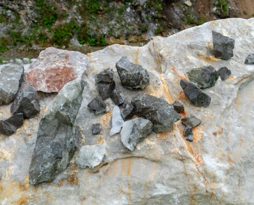
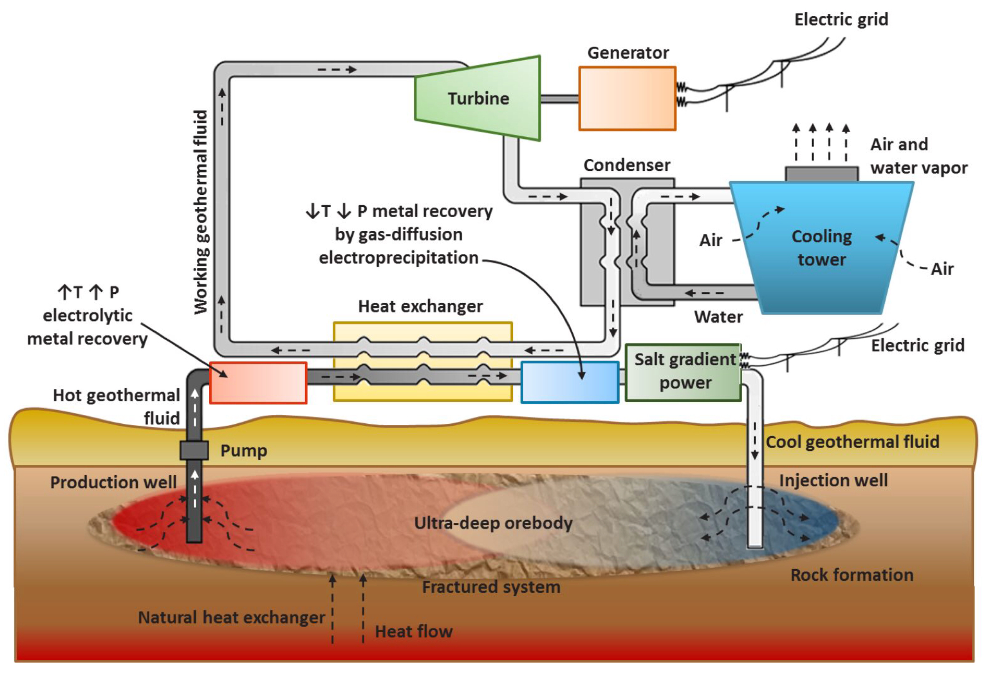
Schematic representation of a CHPM facility. ©CHPM2030 Team
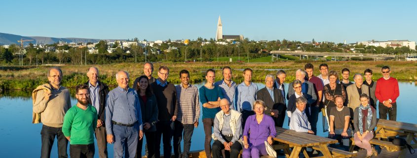
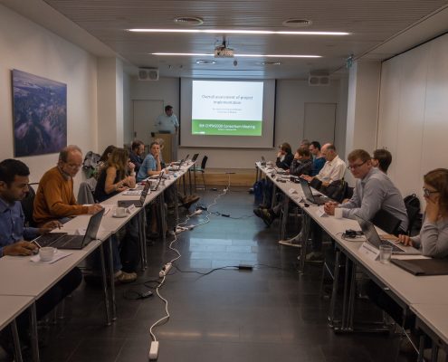
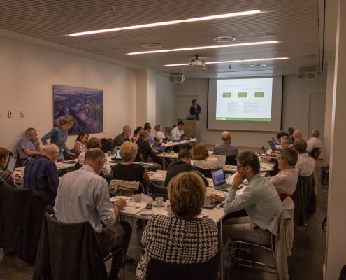
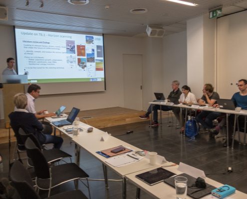
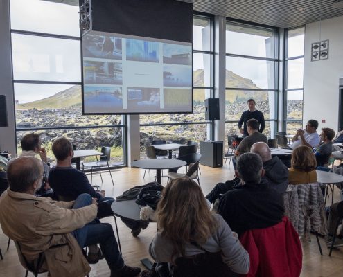
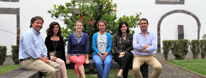
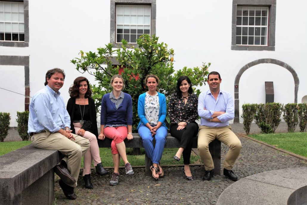
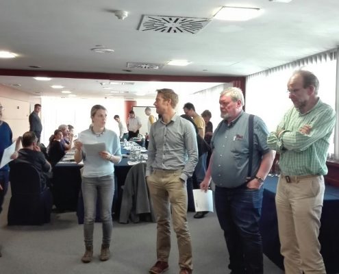
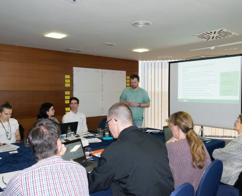
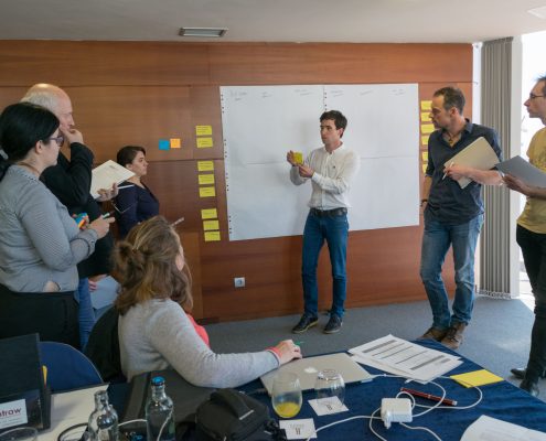
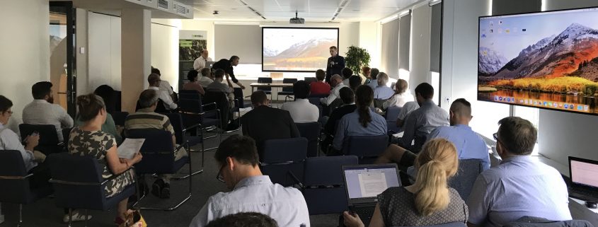
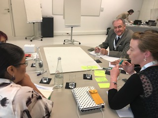
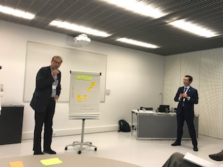
The Delphi survey is in direct relation with the first area: mapping convergent technology areas, and represents long-term planning (for the year 2050). Preparation to the survey started with a small-scale Horizon Scanning exercise, including a literature review and an Experts’ workshop in Lanzarote in order to identify relevant factors, drivers, trends and issues to be further investigated in the Delphi. First, the structure and topics were drafted by LPRC and it was refined/completed during the Lanzarote workshop with the input from all Consortium partners. During this workshop, partners were mapping key interest areas (geothermal drilling, scaling, metal recovery, exploration, etc.), identifying gaps (challenges, bottlenecks, difficulties, enablers) within these areas, and then came up with ideas for statements to be used in the Delphi survey. The work has been split into two groups and facilitated by the moderators of LPRC.
Workshop in Lanzarote, Canary Islands
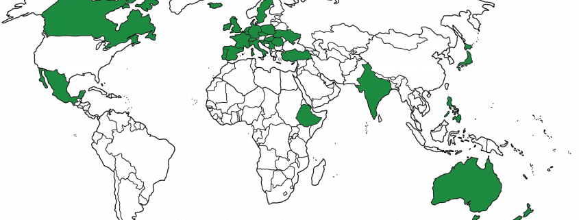
The final survey included 12 statements on topics from both geothermal (scaling, geothermal drilling, metal mobilization, etc.) and mineral (geophysical methods, use of AI and ML for data interpretation, deep exploration drilling, etc.) topics, together with overall operational challenges (Social Licence to Operate, market penetration, etc.). The participants were asked to freely comment on the statements in the 1st round. In the 2nd round, the previous comments and insight were already included, so the participants were invited to comment in light of previous Expert opinions, reaching towards a consensus. Additional input fields were added: time horizon and previously identified emerging issues. Together with the 1st and 2nd round, more than 160 surveys have been completed by Experts from both mineral and geothermal sectors, worldwide.
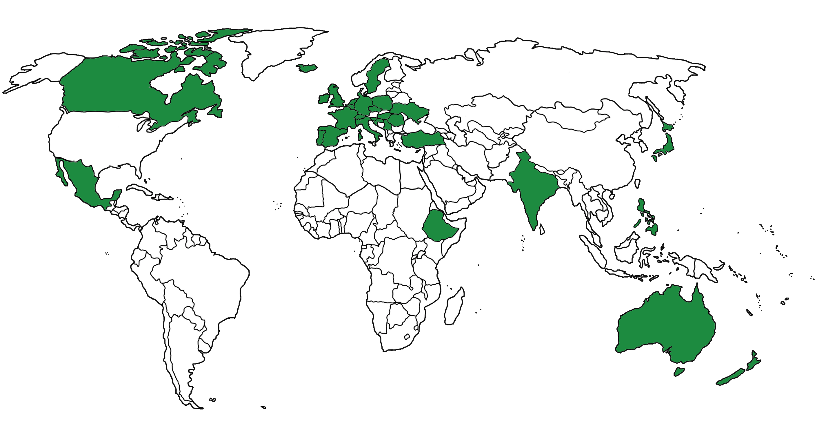
Global participation in the first 1st round of the CHPM2030 Delphi survey.
The 2nd round of the CHPM2030 Delphi survey has just finished! LPRC is currently processing the results. However, if you would like to participate in the following “open” round, with curiosity of the statements, please go ahead and read what the Experts have to say about the future of Combined Heat Power and Metal extraction technology and more: share your own opinion!
Access the Delphi survey here: https://goo.gl/forms/FWcgdHJsXqLfTv0I3
*The Delphi survey was originally developed as a technological forecasting technique, which aimed at reaching consensus over relevant technological developments. Nowadays, Delphi expanded into a variety of modified approaches. However, at its core Delphi stands out as a reliable method in situations where individual judgements must be tapped and combined to address an incomplete state of knowledge. Delphi is based on anonymous opinions of experts who are fed back the results of a round-based survey, allowing these experts to rethink their judgement and converge to consensus over key identified areas.

